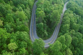
Let's face it, few of us live near enough to the rally site to sleep in our own beds every night, so the vast majority of us are going to be riding (or driving) to the Rally from places all over the continent. This page will help make the trip more fun, whether you're coming to the Rally, going home afterwards or just looking for someplace fun and interesting to ride to while you're in town.
Thanks to MOA members Johnathan Gifford and David Peterson, we're pleased to provide you with information and downloadable routes for your convenience. A collection of routes will be available through Ride With GPS soon.
Using Ride with GPS
![]() Ride with GPS is a great way for the MOA to share and distribute maps, GPS routes and turn-by-turn instructions. As with any great service, some best practices in the form of tips and tricks are in order.
Ride with GPS is a great way for the MOA to share and distribute maps, GPS routes and turn-by-turn instructions. As with any great service, some best practices in the form of tips and tricks are in order.
- Each route in Ride with GPS is equivalent to a track in the world of Garmin GPS units and BaseCamp software. So for all the routes, make sure you get the entire collection of routes in Ride with GPS.
- Ride with GPS allows you to download many different GPS files types, including GPX, for the BMW Navigator series and other Garmin products
- When downloading GPX files, only download the "GPX Track" version.
- The "GPX Route" version will leave you at the mercy of the settings on your Garmin GPS, and will take you off the planned route and maybe to unexpected places and road conditions.
- Once you have the "GPX Track" version loaded on your device and want turn-by-turn navigation, convert the "track" on your Garmin GPS to a "trip."
- If you don’t have a dedicated GPS device and use your phone for navigation, Ride with GPS also has a number of file formats to work with various navigation apps for phones.
- Ride with GPS also has its own phone app that will also help guide you! Download now for Apple iOS or Android.
We'll update this page with Oregon-specific info as soon as we can.

